Field notes: the client who didn't believe the map until he walked the spot himself
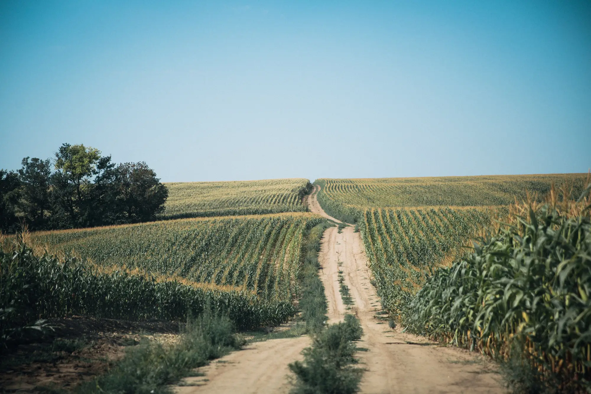
I had a client last July, a corn-soybean guy north of the river, who flat out told me the map was wrong. There was a six-acre patch on the northeast corner of his 118 flagged amber for likely nitrogen shortfall, and he wasn't buying it. "That ground's been feeding fine since May," he said. "Something's off with your picture."
Fair enough. I'd scouted that field two weeks earlier myself and hadn't seen a thing worth writing down. No yellowing in the lower leaves, no obvious drainage issue, nothing that would've pulled me out of the truck for a closer look. From the cab, that corner looked like every other corner.
So he walked it. Took him about twenty minutes, counting rows, bending down every fifty feet or so to check leaf color against the rest of the stand. He called me from the field, a little quieter than usual. The color break was there. Subtle, the kind of pale-green edge that's easy to write off as a trick of the light when you're driving forty-five and glancing sideways, but unmistakable once you're standing in it with the sun behind you.
That's the part worth sitting with. The stress sat right at the edge of what a drive-by catches, present in the leaf but a shade too faint to register at highway speed. Red-edge and NIR pick up chlorophyll stress before it shows as visible yellowing to the naked eye, which means by the time you'd flag it from the truck, you're already a week or two behind where you could've been. The map found the same thing he found on foot, just earlier, from the air, before anyone put boots in that corner.
He ended up side-dressing that corner a week earlier than he'd planned for the rest of the field. Can't tell you what the yield difference was, because we didn't run a check strip, and I'm not going to pretend otherwise. But I will say he's stopped calling to argue about the amber flags. Now he calls to ask which fields are worth the drive.
That's the shift I've seen with every client who's gone through this once. The first flag they doubt. The second one, they walk out of habit, half expecting to be wrong again. By the third, they've stopped scouting the whole list every week and started scouting the short list. That's the whole point of running this kind of read in the first place: flagging the problem before it's obvious from the cab, so a client's time goes to the fields that need boots in them this week.
I'll also say the map isn't always right, or at least not always precise about cause. I've had a salinity flag turn out to be compaction from a wet spring, and a water-stress flag on sandy ground that was just a planter skip nobody noticed. The tool separates likely causes based on spectral signature, and spectral signatures don't come with a note explaining themselves. That's still a job for someone who knows the field's history and can tell the difference between what the data suggests and what's happening in the dirt. Nobody's building a product that replaces that part.
What it does change is where you start. Instead of driving every field on a Tuesday rotation hoping to catch something, you start with the ones the spectral data already flagged, and you walk those first. If you want to see what that weekly read looks like before deciding whether it's worth running across a full client list, the Crop Stress Map offer lays out what gets delivered and how the flags are tagged by likely cause.
Next time a client doubts a flag, tell them to walk it. They usually come back believers.